October 2023
Weather App Guide
Use OpenMeteo API for the longitude and latitude, and use OpenCage API to geocode the location which was passed on and extract the coordinates.
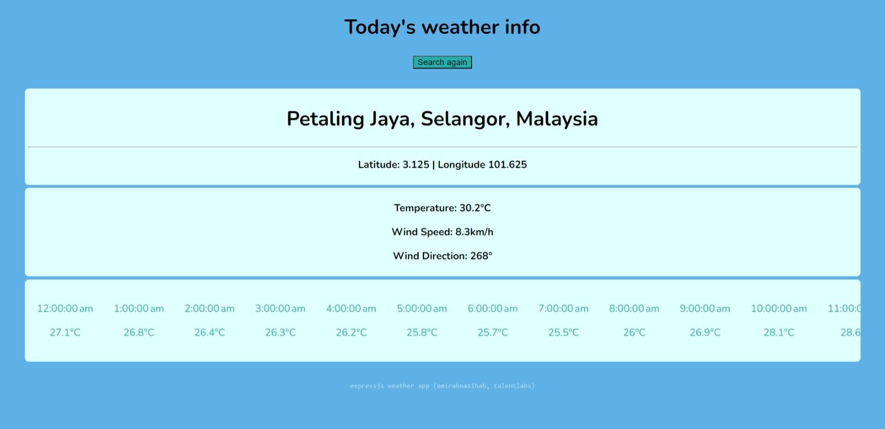
Use OpenMeteo API for the longitude and latitude, and use OpenCage API to geocode the location which was passed on and extract the coordinates.
Use OpenMeteo API for the longitude and latitude, and use OpenCage API to geocode the location which was passed on and extract the coordinates.
-
OpenCage Geocoder API: Used to convert a location (city, country, etc.) into geographic coordinates (latitude and longitude).
-
OpenMeteo API: Fetches weather data based on the latitude and longitude provided. 1. OpenCage API Call:
-
Sends a GET request to the OpenCage API with the
locationquery. -
Extracts the
latitudeandlongitudefrom the API response. 2. OpenMeteo API Call: -
Uses the coordinates from OpenCage to send a GET request to OpenMeteo.
-
Requests
current_weatherdata for simplicity, but you can customize it for hourly or daily forecasts. 3. Error Handling: -
Includes checks to ensure API responses contain the required data.
-
Handles errors gracefully, logging meaningful messages.
-
-
Rate Limits: OpenCage’s free tier limits requests to 2,500 per day, and OpenMeteo has no limits for weather data but recommends caching responses.
More projects
view all →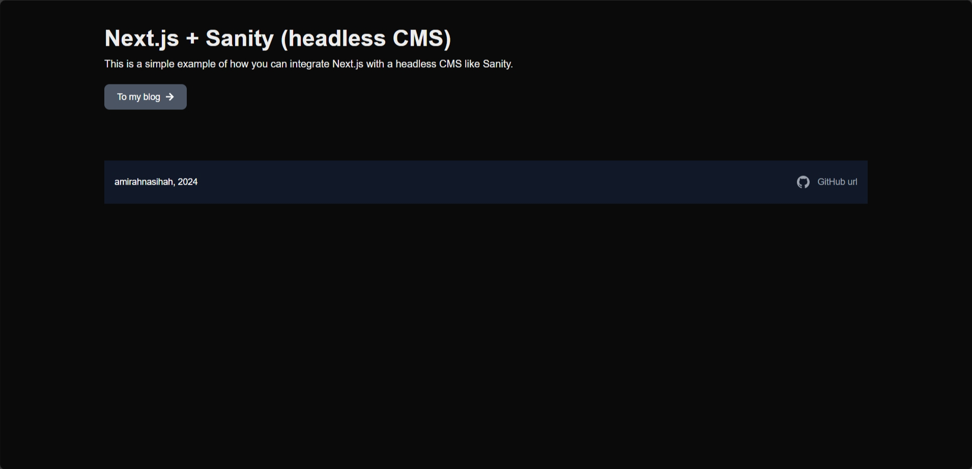
Nextjs with CMS Sanity
Integrating Next.js with Sanity (Headless CMS) and display the blog content.
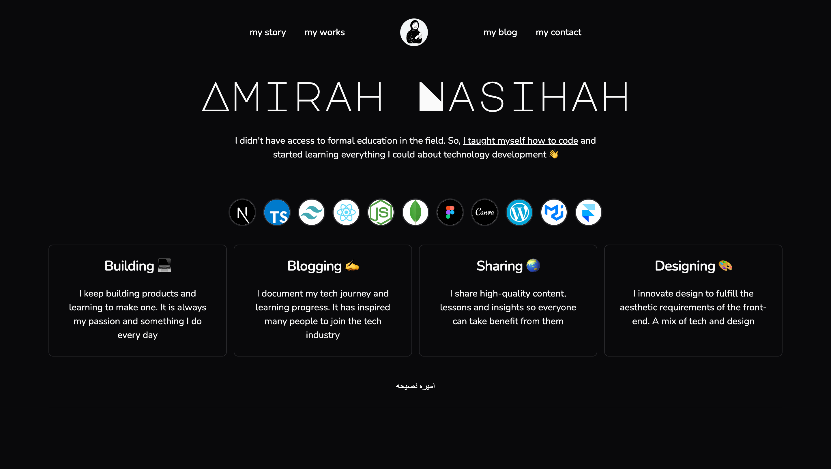
My Website v3 - NextTS App router
Redesign my websites with NextJS + Tailwind CSS + Framer Motion = Animation (on-going)
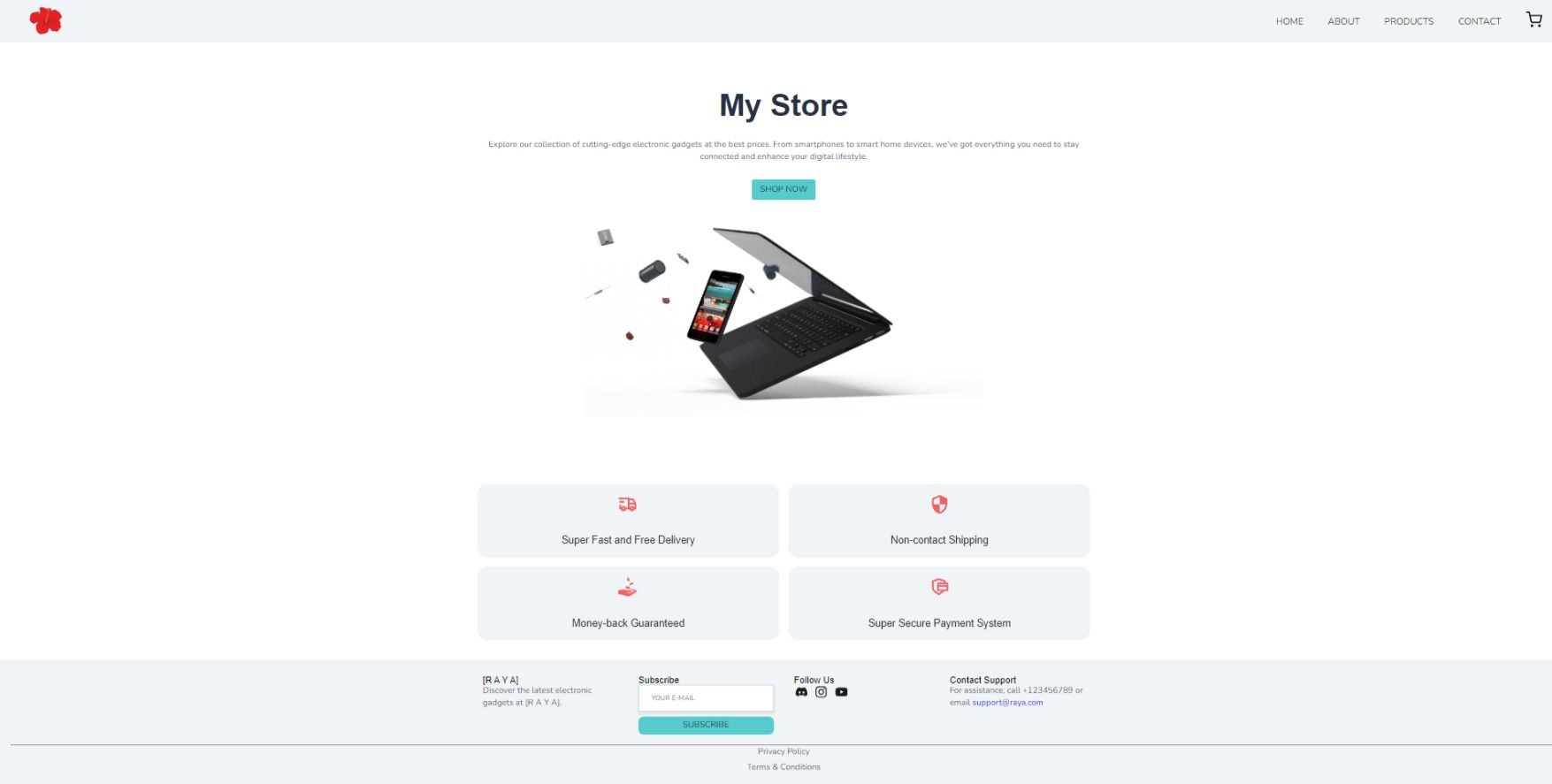
E-commerce App (MERN)
Electronic commerce app with ReactJS, Context API (useReducer), Styled Components integrate with backend MongoDB database